News Summary
On Wednesday afternoon, severe thunderstorm warnings were issued for Myrtle Beach and surrounding areas by the National Weather Service. With predictions of wind gusts up to 60 mph and quarter-sized hail, residents were urged to seek shelter and report any damage. Additional alerts later in the evening indicated continuing severe weather with risks of minor damages and dangerous driving conditions. As winter approaches, warmer and drier trends could also affect the area.
Severe Thunderstorm Warnings Hit Myrtle Beach Area and Beyond
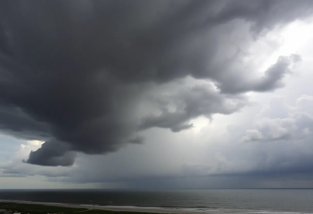
On Wednesday afternoon, Myrtle Beach and the surrounding regions were put on high alert as the National Weather Service (NWS) in Wilmington, NC, issued a severe thunderstorm warning at precisely 3:47 p.m. This warning is crucial for the safety of the community and is in effect until 4:45 p.m.
Residents can expect some dramatic weather, with predictions forecasting wind gusts soaring up to a staggering 60 mph and potentially quarter-sized hail, measuring in at about 1 inch. Just moments after the warning was announced, at 3:47 p.m., a severe thunderstorm was confirmed over Bucksport, close to Socastee, and it was moving southeast at a steady pace of 15 mph.
The danger is real, as there is a possibility of minor hail damage to vehicles and wind damage to trees and power lines. Anyone venturing in the affected areas, including Myrtle Beach Airport, Burgess, Bucksville, Springmaid Pier, Socastee, Waccamaw Community Hospital, Garden City, Bucksport, Red Hill, Forestbrook, Myrtle Beach, Yauhannah, Surfside Beach, and Murrells Inlet, is advised to take precautions.
Safety First: What You Should Do
For safety, it’s recommended that residents move to an interior room on the lowest floor of their buildings. If you encounter hail or wind damage in your area, please report it to the NWS office immediately. Your safety is paramount, and any damage can help improve weather forecasting!
Then at 5:01 p.m., another alert followed for a strong thunderstorm affecting the Myrtle Beach area, lasting until 5:45 p.m. This alert predicted wind gusts hitting up to 40 mph and nickel-sized hail (about 0.88 inches). Doppler radar picked up a strong storm over Clarendon, just 14 miles southwest of Whiteville, also moving at 15 mph.
Residents in this area need to take heed, as gusty winds could knock down tree limbs and blow around unsecured objects. Engaging in outdoor activities during the storm should be avoided, and if you’re outside, it’s crucial to seek shelter indoors.
Even More Thunderstorms on the Horizon
The storm could lead to minor damage to outdoor objects and again endanger tree limbs. Areas to watch closely include Chapin, Melvin Park, and Little Mountain, particularly near Interstate 26 at mile marker 88.
Thunderstorms and Their Risks
Weather Trends: A Warmer Winter Ahead?
Deeper Dive: News & Info About This Topic
HERE Resources
Columbia Weather Forecast: Possible Snow This Weekend
Carolina Wildfires Prompt State of Emergency and Evacuations
Horry and Georgetown Counties Face Severe Drought Challenges
Horry County Bans Outdoor Burning Amidst Fire Hazard Concerns
Myrtle Beach Faces Wildfire Crisis Amid State of Emergency
Severe Storms Leave Heartbreak and Destruction Across Multiple States
Wildfires Rage in the Carolinas: Evacuations and Emergency Declared
Carolina Wildfires Rage On: Evacuations and Emergencies in Effect
Winter Weather Advisory: Columbia, SC Prepares for Wintry Conditions
Duke Energy Foundation Allocates $500,000 in Grants for SC
Additional Resources
- The State: Severe Thunderstorm Warnings Hit Myrtle Beach Area
- Wikipedia: Thunderstorm
- Myrtle Beach Online: Weather News
- Google Search: Weather Storms Myrtle Beach
- AOL: La Niña and Myrtle Beach Weather
- Google Scholar: La Niña Weather
- WMBF News: Weather Updates
- Encyclopedia Britannica: Weather Forecast