Kansas City Braces for Severe Storms as Fall Thunderstorm Season Kicks Off
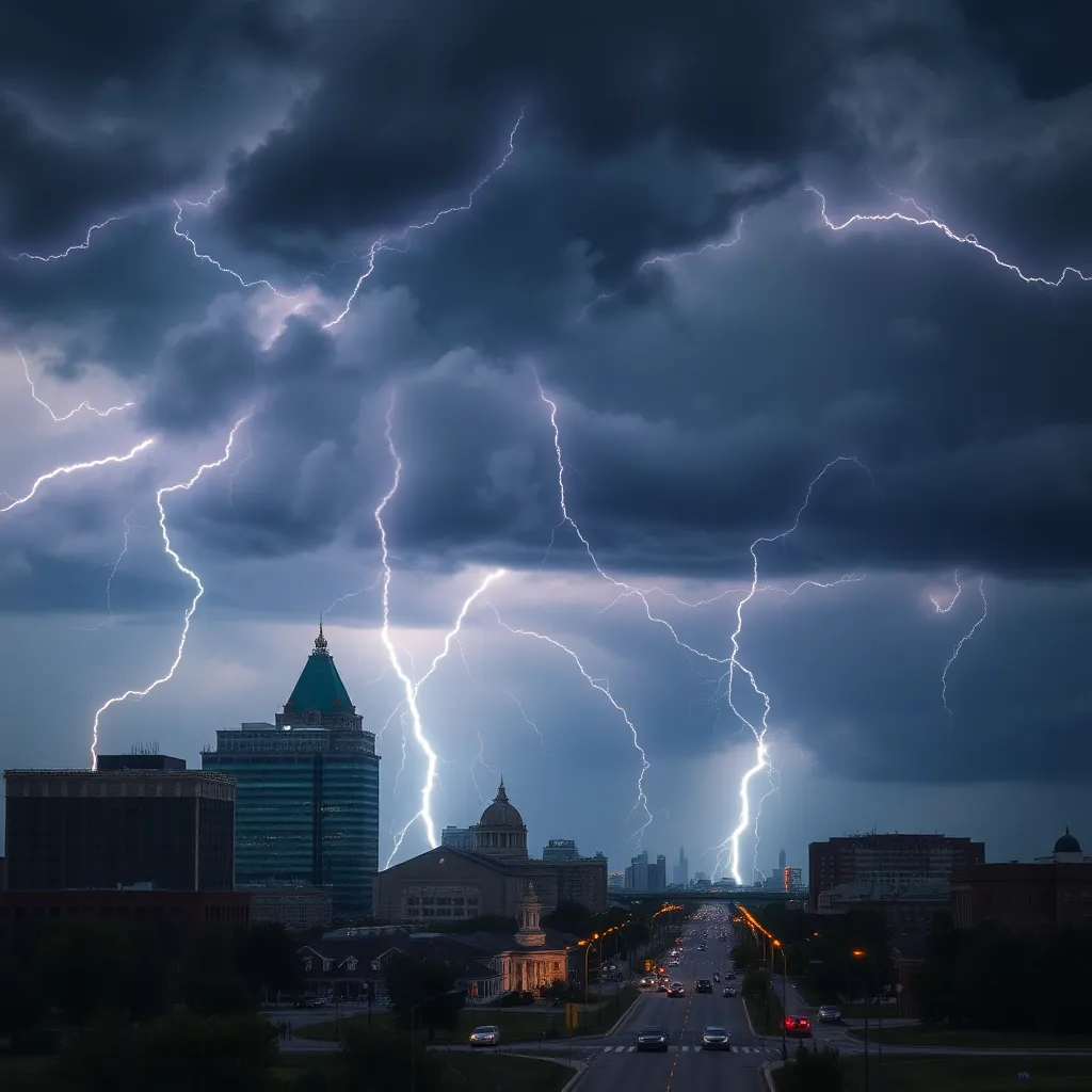
As afternoon rolls in over Kansas City, residents are on alert for severe thunderstorms that are expected to rise in intensity and could pose serious risks. A strong cold front moving in from the West is mixing with the unusually warm fall air in the central and eastern parts of the country, creating conditions ripe for dangerous weather.
Storm Prediction Center Raises Threat Level
The Storm Prediction Center has issued a level 3 of 5 threat for severe thunderstorms, affecting over 5 million people, including areas like Kansas City and Tulsa, Oklahoma. This marks the first level 3 threat for these regions since mid-July, signaling a serious change in weather patterns.
Storm Development and Potential Threats
Severe thunderstorms began rolling through parts of Kansas and Nebraska early Wednesday afternoon and have already made their way into portions of Iowa and Missouri. As the day progresses, these storms are projected to strengthen and become more widespread, particularly during the late afternoon into the evening.
The potential threats associated with these storms include:
- Damaging wind gusts
- Large hail
- A few tornadoes, some possibly rated EF2 or stronger
While a less severe level 2 of 5 threat stretches from northern Texas to southern Iowa, this area still faces risks with isolated tornadoes possible, along with damaging winds and large hail impacting over 12 million people.
Heightened Tornado Risk in 2024
This year has already been significant for tornado activity in the United States, with tornado occurrences hitting the second-highest record to date. As of now, the number of tornadoes reported has only been surpassed by the extreme year of 2011, which saw 2,156 tornadoes.
The current situation is typical for a fall storm setup, a time when conditions can lead to violent storms. Generally, spring and summer are known for their violent thunderstorms, but as the cold air from the north clashes with the warm, moist air from the Gulf of Mexico, a second season of storm activity can emerge during the fall and winter months.
Unusual Fall Tornado Activity
This year, the pattern of tornado activity has not followed the usual trend. Many tornadoes have originated from the remnants of hurricanes, notably Helene and Milton. In particular, Hurricane Milton resulted in an unusual number of tornadoes in Florida, which is significant for a tropical system. Among these, the state recorded its strongest tornado in over fifty years, an EF3 that caused fatalities in Polk County.
Stay Prepared
As stormy weather approaches, residents of Kansas City and surrounding areas are urged to stay updated on the latest weather alerts and preparedness measures. It is crucial to have safety plans in place, keep emergency kits ready, and remain vigilant as the complex weather unfolds this afternoon and evening.
With the presence of severe thunderstorms and the possibility of tornadoes, communities should prioritize safety while monitoring resources for ongoing weather information. The coming hours will be critical in determining the impacts of the severe storms.


